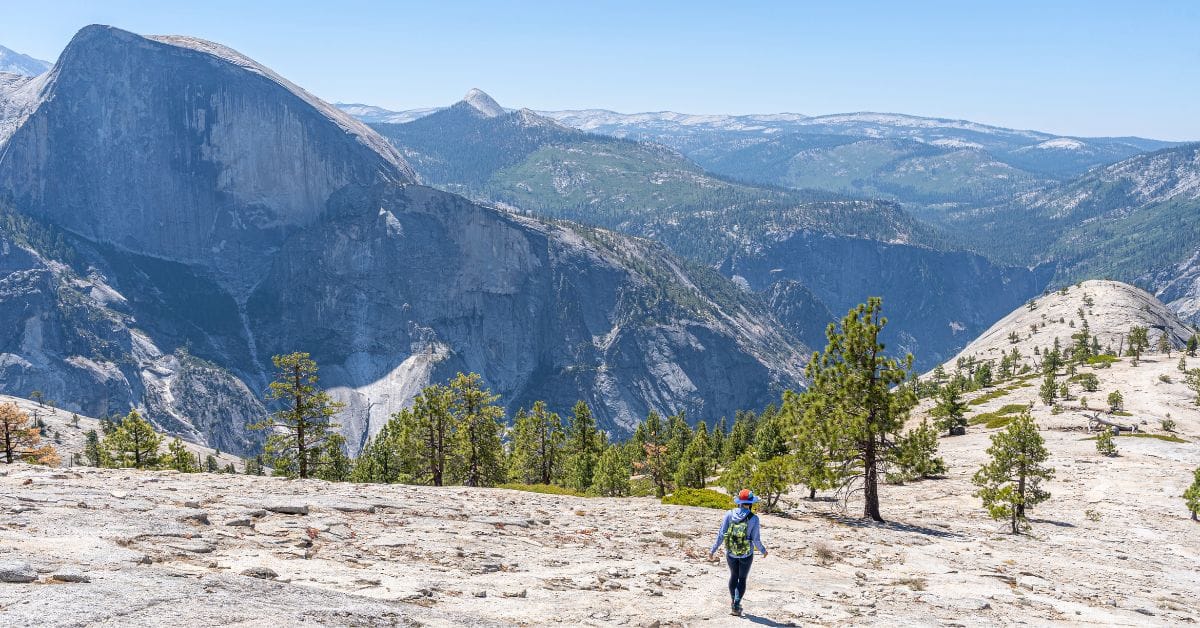
Want one of the most unique and close-up views of Half Dome? Hike to North Dome for jaw-dropping scenery in Yosemite National Park. 😍
There are several routes to reach North Dome but the shortest and “easiest” way to get there is by starting at the Porcupine Creek Trailhead off Tioga Road.
Not only will you get to stand on top of North Dome, which sits at 7,540 feet, but if you’re willing to add a little bit more distance, you can see the only natural arch in Yosemite – Indian Arch!
The entire route is 9.6 miles (15.4 km) roundtrip, including both Indian Arch and North Dome. It’s fairly challenging so be prepared! But it’s so worth the effort. 🙌
It’s a popular trek for both day hikers and backpackers, but don’t worry, you will not have to deal with huge crowds like on the trails in Yosemite Valley. But the parking lot is not too big, so it’s a good idea to start early!
Read my ultimate guide to learn everything you need to know about the North Dome hike and the detour to Indian Arch in Yosemite.
Affiliate Disclaimer: Some links on this page may be affiliate links, meaning I may earn a small commission at no extra cost to you. As an Amazon Associate, I earn from qualifying purchases. Thanks for supporting the blog! 🫶
Yosemite National Park Trip Info
📍 Location: California, USA
🗓️ Best Time to Visit: Year-round but most accessible time is May-October
🏞️ Ideal Trip Length: 3-5 days
✈️ Closest Airport: Fresno Yosemite International (2.5 hours away from Yosemite Valley)
🏨 Where to Stay: Yosemite Valley Lodge and Curry Village in Yosemite Valley, Tenaya at Yosemite in Fish Camp, Yosemite View Lodge in El Portal, Best Western Plus Yosemite Gateway Inn in Oakhurst, or Rush Creek Lodge in Groveland
🚙 Getting Around: Rent a vehicle from rentalcars.com or discovercars.com
💵 Entrance Fee: $35 per vehicle (7 days) or buy an America the Beautiful Pass (covers the entrance fee for 1 year). There are new non-resident fees – learn more here
🤩 Check out my Yosemite National Park Guide for more travel, hiking, and seasonal guides
North Dome Trail Stats and Map
North Dome Trail Stats
Starting Point: Porcupine Creek Trailhead
Length: 9.6 miles (15.4 km) roundtrip
Elevation Gain: 2,060 feet
Difficulty: Moderate to hard
Hiking Time: 5 to 6 hours
Route Type: Out-and-back
Pet-friendly? No, pets are not allowed
Hike Features: Indian Arch, North Dome with amazing views of Half Dome, Tenaya Canyon, and Yosemite Valley
North Dome Trail Map
Yosemite Entrance Fee and Reservations
Entrance to Yosemite National Park costs $35 per vehicle for a 3-day pass. However, if you have the America the Beautiful Annual Pass, your entry is free!
For those who love exploring national parks, investing in the Annual Pass is a smart choice. At just $80, for U.S. residents, it grants you access to over 2,000 federal recreation sites across the country!
FEE UPDATES! Beginning January 1, 2026, non-U.S. residents (without an annual pass) will pay a $100 per person in addition to the standard entrance fee. The Annual Pass for non-US residents will cost $250.
Reservations are not required this year. (updated August 27, 2026).
North Dome Trailhead and Parking
The North Dome Trail begins from Porcupine Creek Trailhead located off Tioga Road. Don’t get it confused with Porcupine Flat Campground – the trail does not start at the campground!
📍 Google Maps Location: Porcupine Creek Trailhead
This trailhead is only accessible during May/June to October/November when Tioga Road is open for the season. To confirm the road is open, check the road status online or call 209-372-0200 (press 1 then 1) for current road conditions.
The trailhead sits at 8,100 feet. The parking lot is not too big, and since this area is popular for day hikers and backpackers, it can fill up fast. Get there early to snag a spot!
At the trailhead, you will find one vault toilet, trash receptables, and bear lockers. There is no drinking water.
Best Time to Hike North Dome in Yosemite
The best time to hike North Dome in Yosemite is when Tioga Road is open so you can start from the Porcupine Creek Trailhead. Usually from July to early October, the trail is snow-free and easy to navigate – always check trail conditions.
Also, starting early is best to avoid afternoon thunderstorms, which is common in the summer. Do not get caught on top of any dome, ridge, or summit during a thunderstorm!
🪻 Late June to Early July: Snow from the previous winter often lingers into early summer, but by July, trails are usually clear, making this a great time to hike. You’ll enjoy lush greenery and flowing streams from snowmelt.
☀️ July to August: These months are the most popular for hiking due to warm weather and clear trail conditions. Expect more crowds, especially on weekends. And be cautious of afternoon summer thunderstorms!
⚠️ Always check the weather forecast before heading out.
🍂 September to Early October: This is a great time for those seeking fewer crowds and cooler temperatures. The weather is generally dry, and the crisp fall air makes for excellent hiking conditions. However, be prepared for cooler mornings and evenings, and always check for early snowstorms in late September and October.
🌨️ November to May: Tioga Road will be closed during this period due to snow, so the other option is to start this hike from Yosemite Valley. Be aware that you may have to navigate through lots of snow during this time – know your limits and be prepared!
There is a chance Tioga Road could be open in November or May (on rare occasions even in December). Check if the road is open or closed HERE.
❄️ Yosemite National Park Winter Guides
- Ultimate Guide to Visiting Yosemite in Winter
- The Only Yosemite Winter Itinerary You Need!
- Where to Stay in Yosemite in Winter: 15+ Best Lodges, Hotels, and Cozy Cabins
- The Ultimate Yosemite Winter Packing List
- 20 Best Yosemite Hikes in Winter (Guide to Snowy Adventures)
- 18 Best Yosemite Winter Activities You Can’t Miss!
- Yosemite Firefall: A Complete First-Timer’s Guide
- Beginner’s Guide to Visiting Mariposa Grove in Winter
North Dome via Porcupine Creek: Trail Directions
Here are step-by-step directions on how to hike to North Dome from Porcupine Creek Trailhead. This includes the detour to Indian Arch which is completely optional, but I highly recommend seeing it for yourself!
Porcupine Creek Trailhead
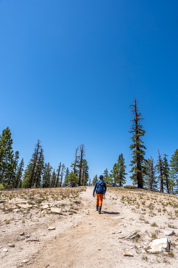
Starting from the Porcupine Creek Trailhead, follow the North Dome Trail. For the most part, the entire trail is easy to follow and well-maintained. It can get a tiny bit confusing once you get on the ridge near North Dome, but if you download offline maps on AllTrails, you shouldn’t have any trouble.
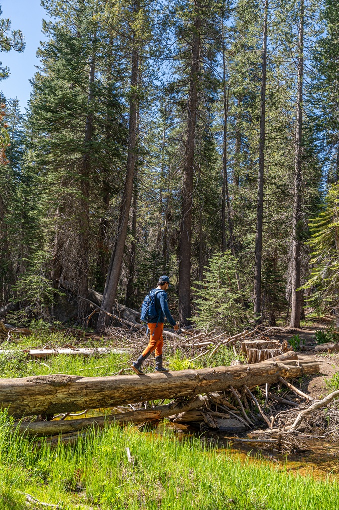
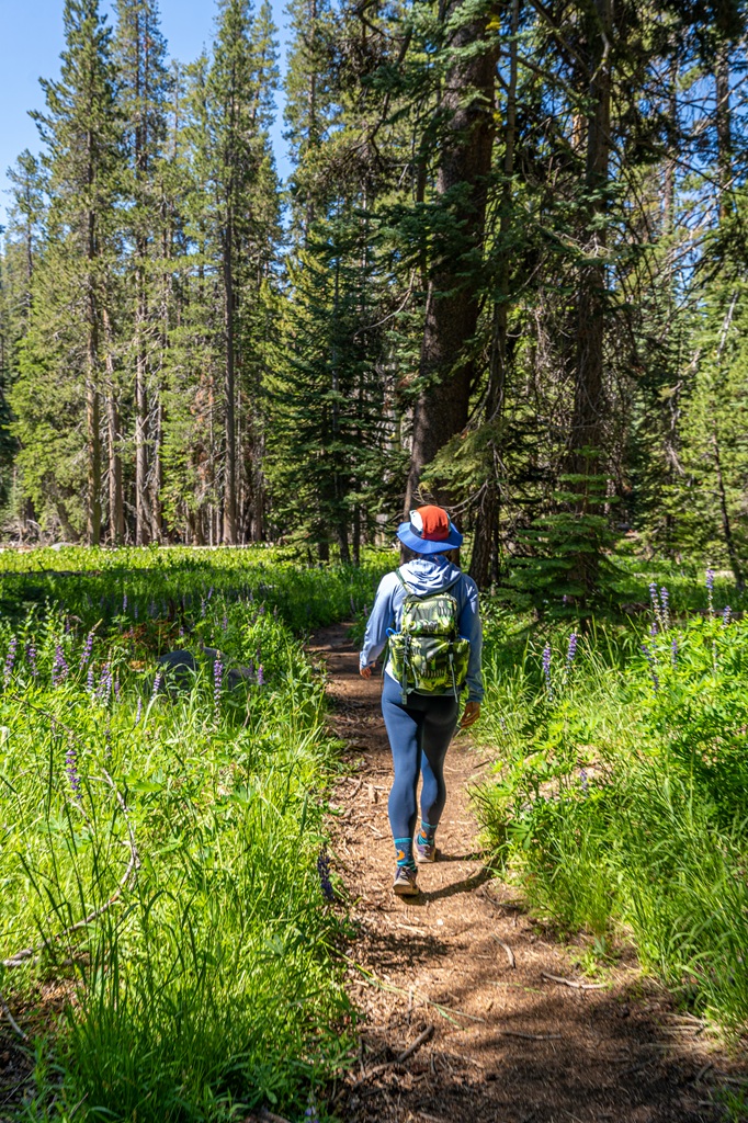
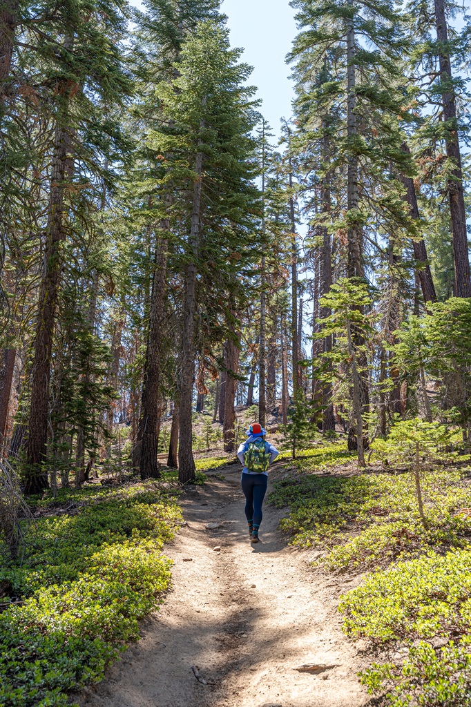
The trail begins heading downhill along a paved path – it’s only paved for a short bit. You will pass through a mixed-conifer forest, beside grassy meadows, and over Porcupine Creek.
Two Trail Junctions
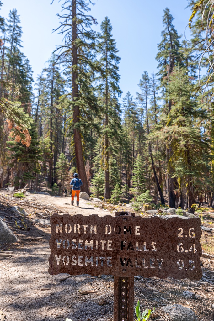
At the 1.8-mile (2.9-km) mark, you will reach two trail junctions back to back. At the first one, continue straight to stay on the North Dome Trail. And at the second one, stick to the left.
Prepare for a gradual elevation gain after you pass the trail junctions. It’s nothing too crazy!
Indian Arch (optional detour)
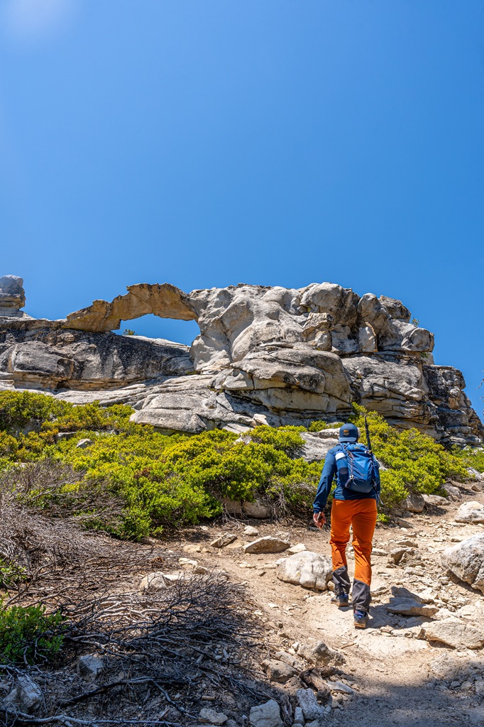
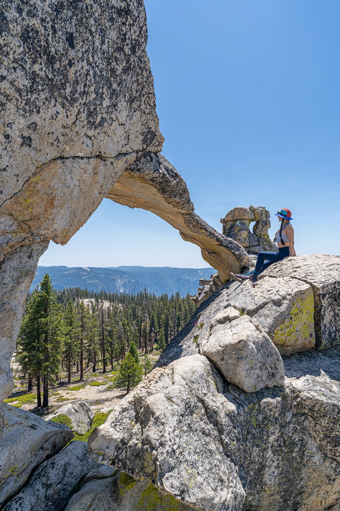
At the 2.8-mile (4.5-km) mark, you will reach the trail junction for Indian Arch. I highly recommend taking this short detour! It’s only 0.2 miles (0.3 km) to the arch, but it’s a steep climb! It’s worth the effort though.
Apparently Indian Arch is the only natural arch in Yosemite National Park! The arch looks quite thin so please do not climb on top of it. Let’s respect and protect this natural wonder.
You could also follow this spur trail past Indian Arch to Indian Rock. I haven’t been over there before so I don’t know if there’s any views or what it really is. But the arch seems to be the main attraction.
Once you’re done marveling at this beautiful geological display, retrace your steps back down the spur trail and take a left to get back onto the North Dome Trail.
📚 History: North Dome was named by the Mariposa Battalion in 1851. This battalion fought against the Indigenous people, the Ahwahnechee (a band of the Southern Sierra Miwok people), who had been inhabiting the area for thousands of years. This became a full-blown war known as the Mariposa War or Yosemite Indian War. And why did this war break out? Due to the discovery of gold in the area (nothing good ever comes from greedy colonizers). Miners looking for gold took over the Ahwahnechee’s land and resources. The war began in 1850 and ended in 1851 after the capture of Chief Tenaya, and the Ahwahnechee people were forcefully removed from their ancestral land to live on reservations. This historical event literally disgusts me. I’m so sad the Ahwahnechee people had to go through this. I felt like this brief history lesson was important – thanks for reading and learning more about the history of this area.
Indian Ridge
You will now be heading almost entirely downhill. At the 3.8-mile (6.1-km) mark, you have two choices. You can stay on the main trail which veers to the left, or you can continue straight and head down the granite (this option is much steeper).
My husband and I went down the steep granite and it was pretty tough on the quads and knees. So if you want a slightly more gradual descent, stay on the main trail.
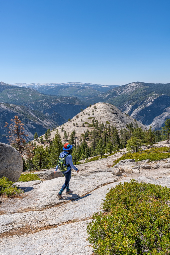
No matter which route you take, you will eventually reach an open granite area where you will see North Dome in the distance. It may look far away but you don’t have too much further to go!
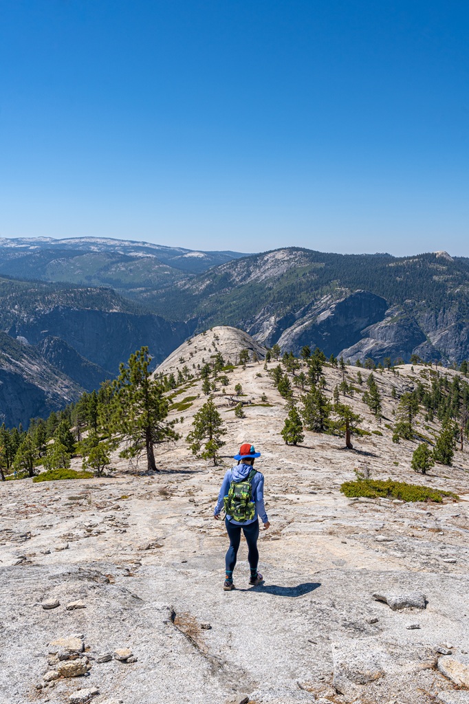
At the 4.4-mile (7.1-km) mark, take a left to stay on the North Dome Trail. The trail to the right leads to the top of Yosemite Falls.
The trail continues to descend until about the 4.6-mile (7.4-km) mark. Then there’s one final climb to reach the top of North Dome!
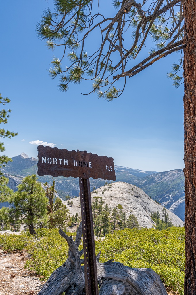
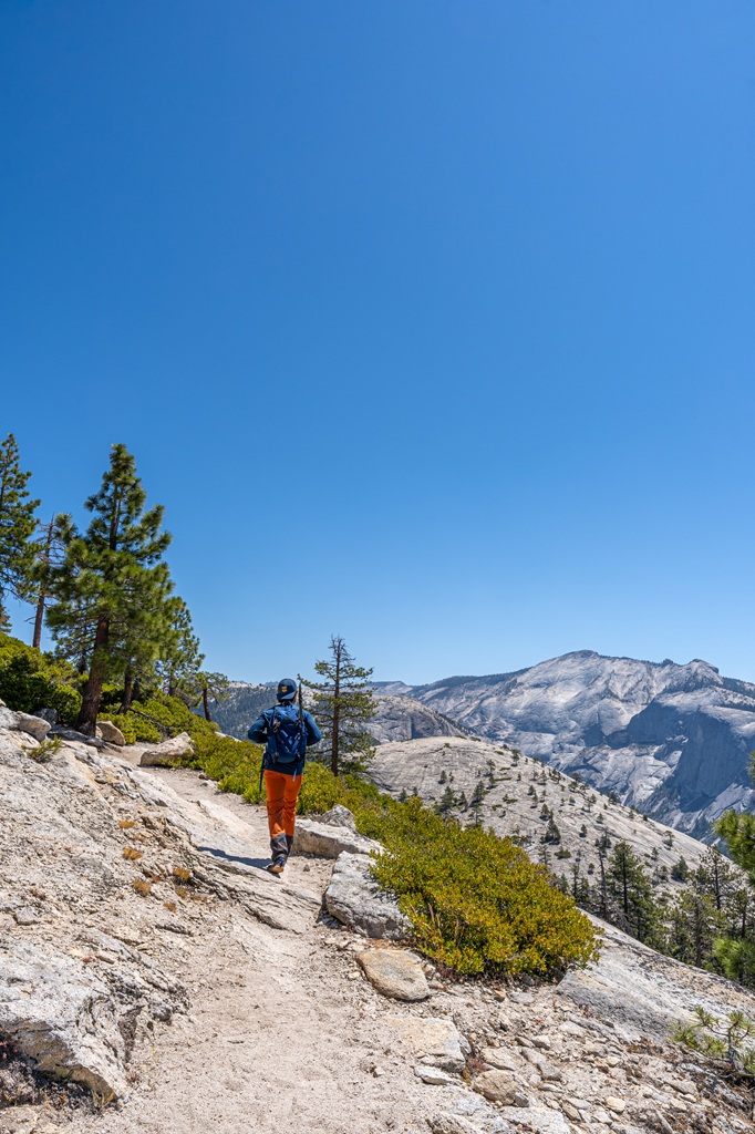
North Dome
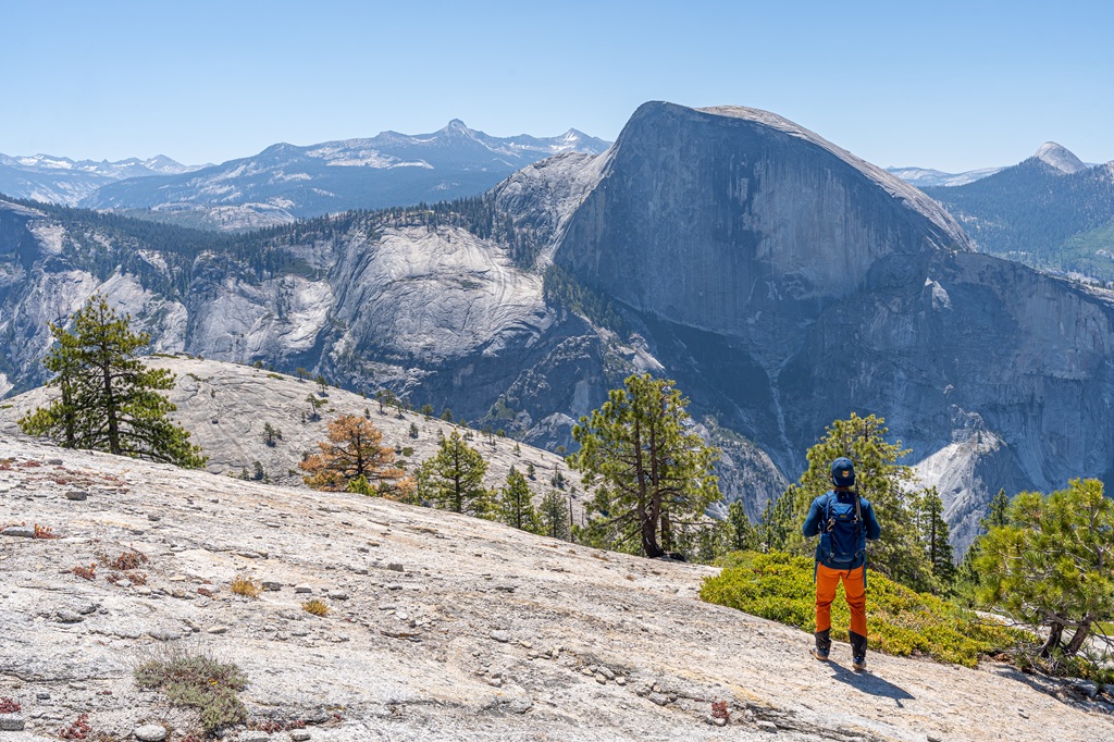
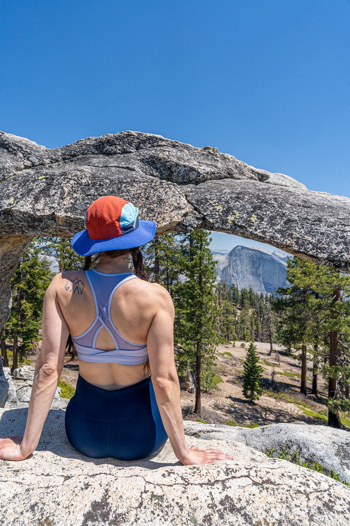
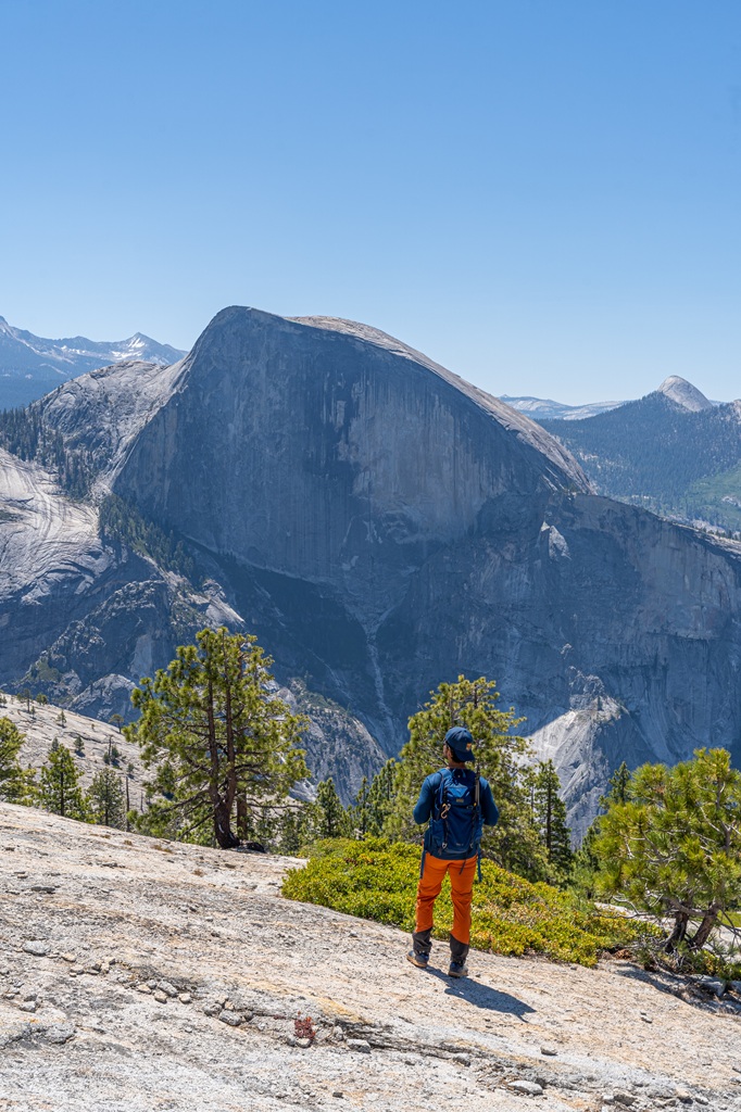
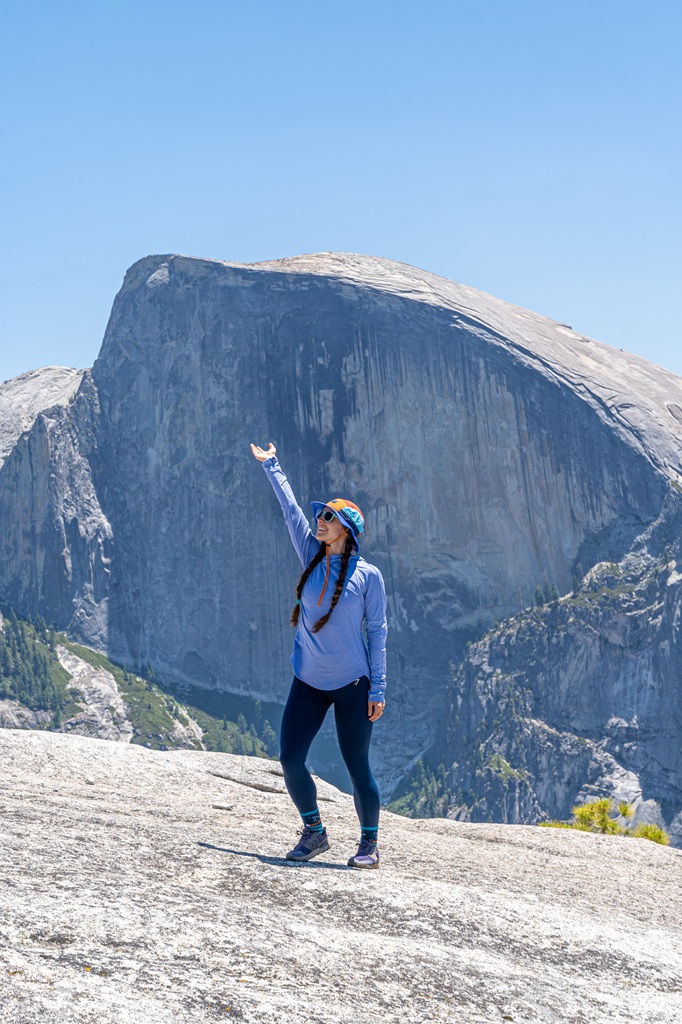
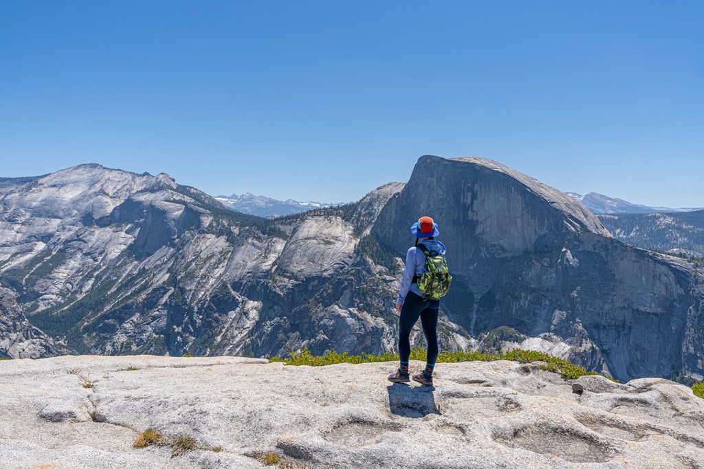
Once at the top, find a good spot to sit, relax, and enjoy the views. This up-close view of Half Dome is so unique! There are so many places to see Half Dome from a distance but the view from North Dome is unreal.
It almost feels like you can just reach out and touch it. Not really though because you are still so far away but it’s a lot closer than other popular viewpoints.
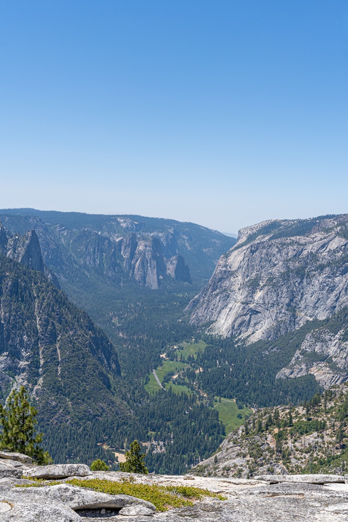
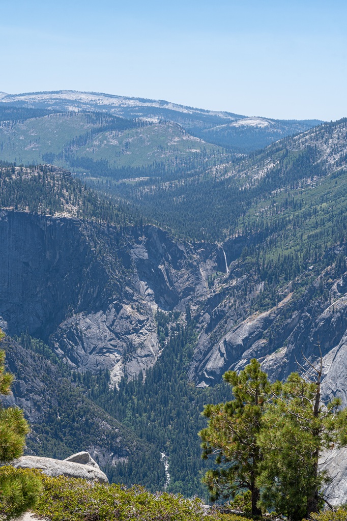
You will also get incredible views of Clouds Rest, Tenaya Canyon, El Capitan, and Yosemite Valley.
Don’t forget to refuel on yummy snacks and hydrate yourself. It usually stays pretty windy at North Dome so make sure you have all your light items secured and hold onto your hat!
To return to the trailhead, simply retrace your steps. Congrats, you did it! 🥳
🥾 Explore more of Tuolumne Meadows and Tioga Pass with these hikes!
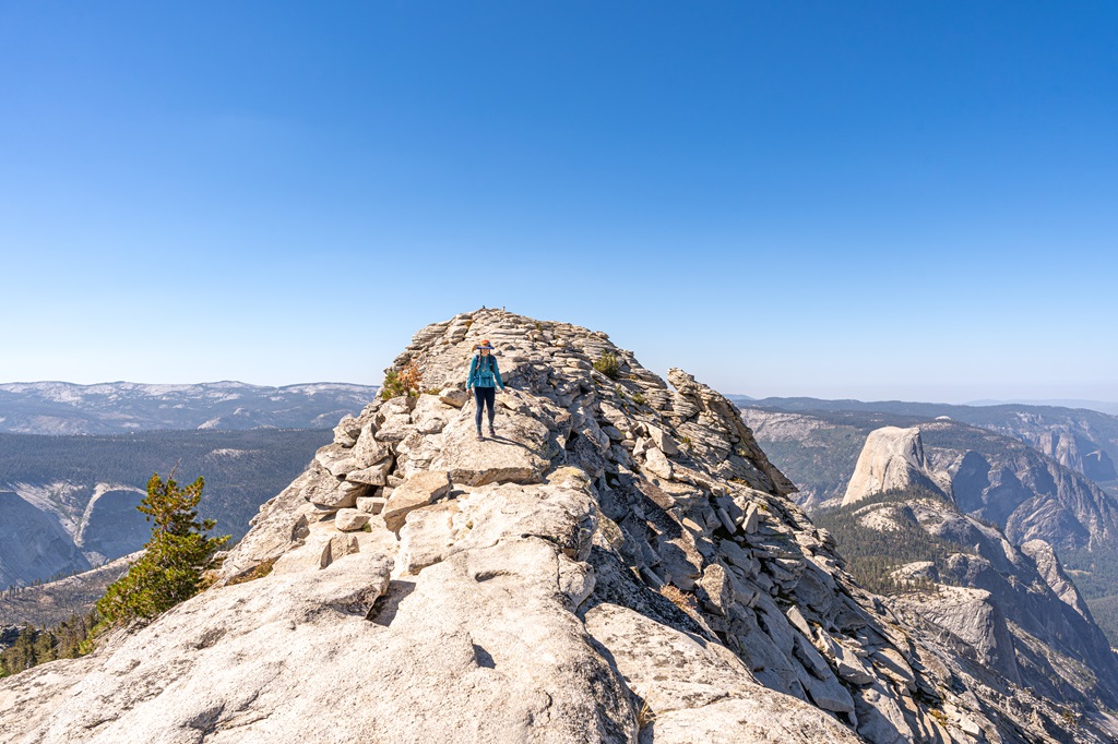
Clouds Rest (14.5 miles / 23.3 km, challenging)
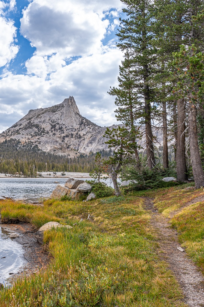
Cathedral Lakes (9.5-12 miles / 15.3-19.3 km, challenging)
North Dome and Indian Arch (9.6 miles / 15.4 km, moderate to hard)
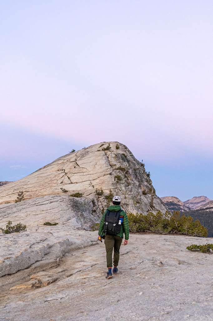
Lembert Dome (2-4 miles / 3.2-6.4 km, moderate to hard)
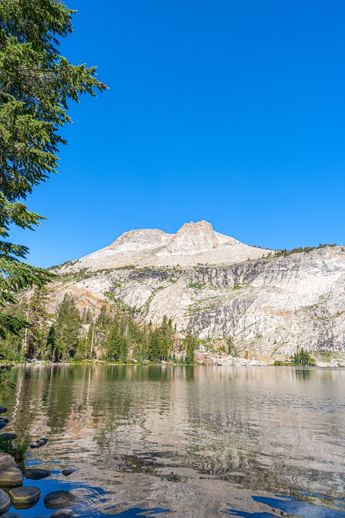
May Lake (2.5 miles / 4 km, moderate)
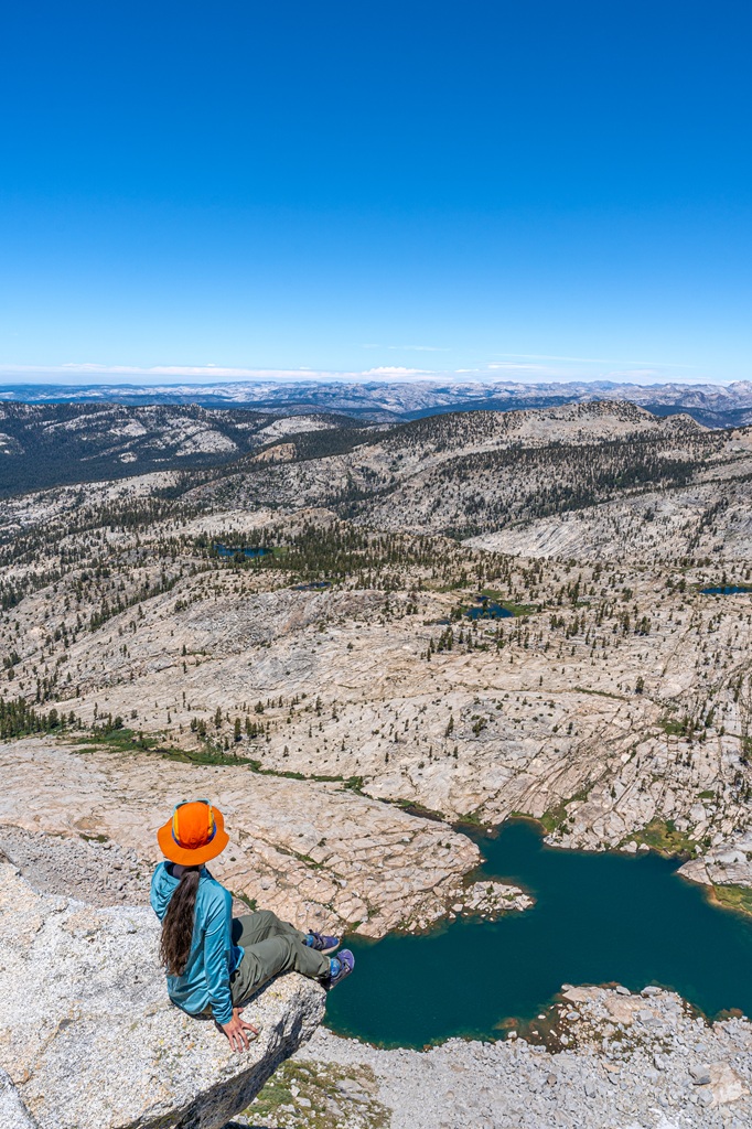
Mount Hoffmann (6 miles / 9.7 km, challenging)
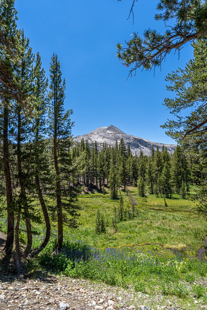
Mono Pass Trail (8 miles / 12.9 km, moderate)
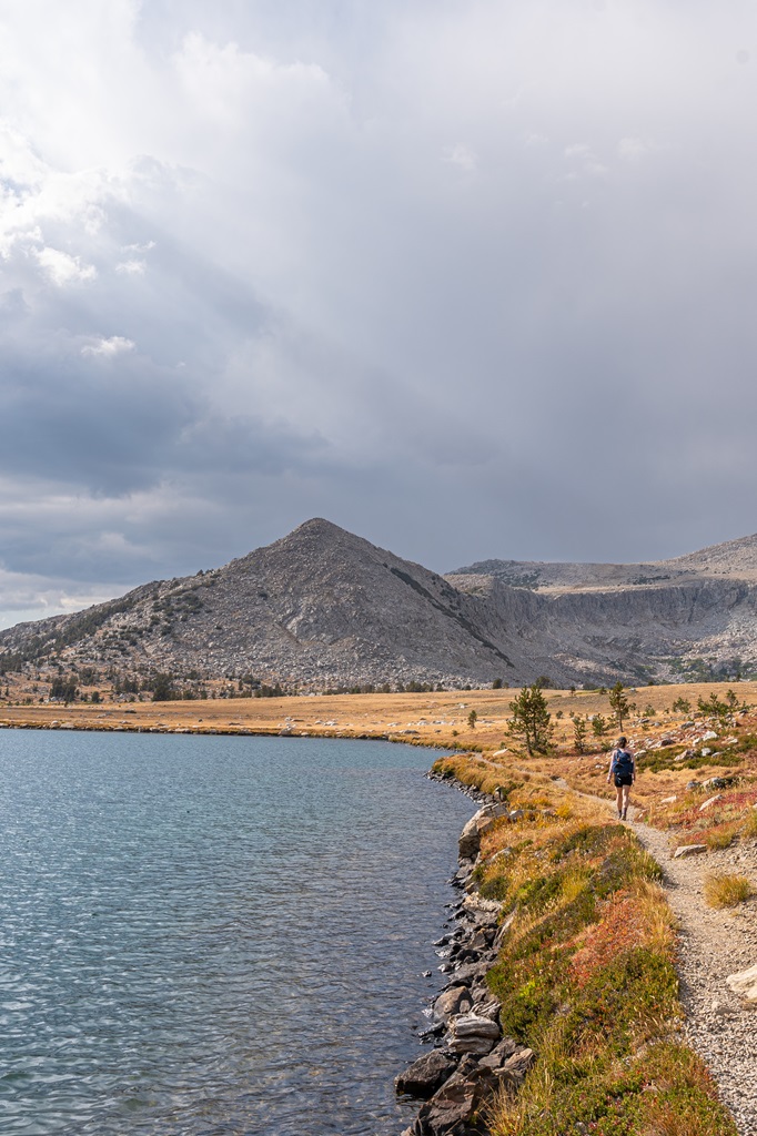
Gaylor Lakes and Great Sierra Mine (3.8 miles / 6.1 km, challenging)
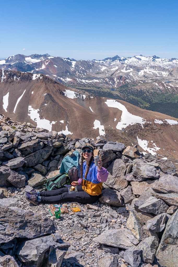
Mount Dana (6 miles / 9.7 km, challenging)
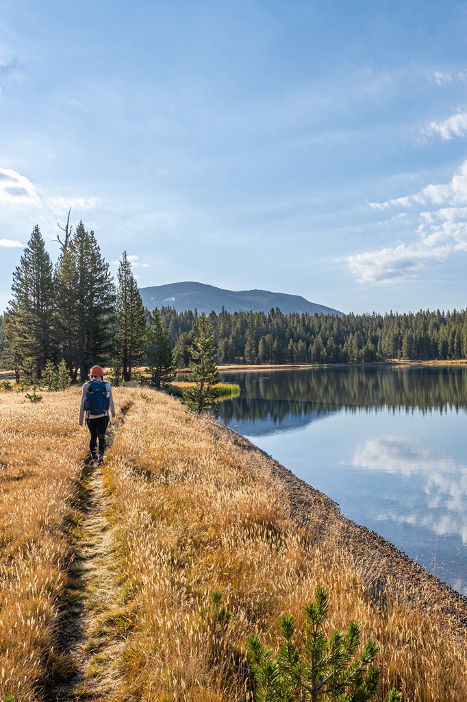
Dog Lake Trail (3.7 miles / 6 km, moderate)
Alternate Route: North Dome via Yosemite Falls
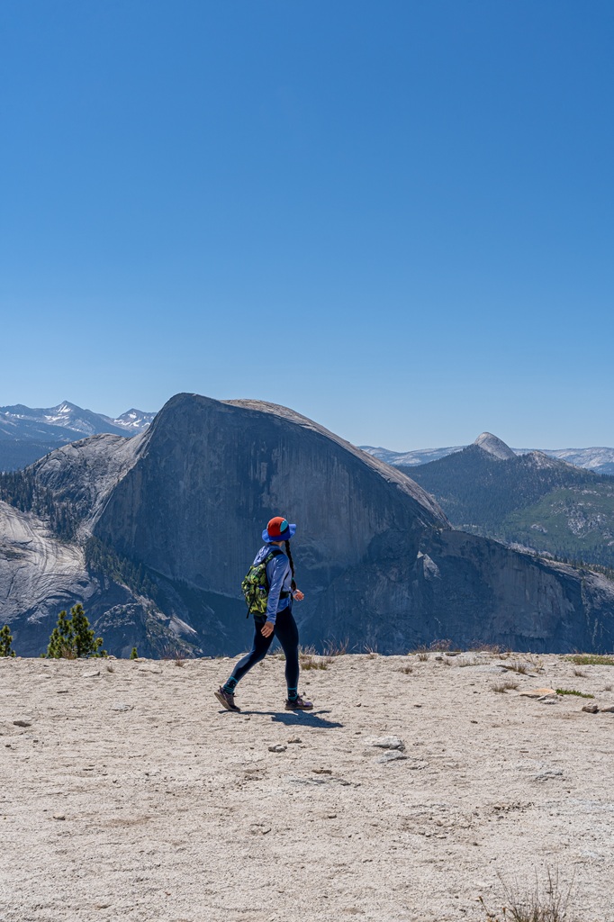
Starting Point: Upper Yosemite Fall Trailhead
Length: 16 miles (26 km) roundtrip
Elevation Gain: 5,560 feet
Difficulty: Challenging
Hiking Time: 10 to 12 hours
Route Type: Out-and-back
Pet-friendly? No, pets are not allowed
Hike Features: Yosemite Falls, Yosemite Point, North Dome with stunning views of Half Dome, Tenaya Canyon, and Yosemite Valley
Another great route to reach North Dome is by starting from Yosemite Valley. This option is much longer and more challenging! I recently tackled this route (May 2026), and it was a tough, all-day adventure but so worth it. Tioga Road was still closed but thankfully there’s a well-maintained trail that leads right to North Dome.
You will begin from the Upper Yosemite Fall Trailhead located in Camp 4. Follow the Upper Yosemite Fall Trail until you reach Yosemite Point. The trail continues upward along the granite and dips into the forest. The rest of the way will be a hilly – a nice mix of uphill and downhill.
Since this route is long and challenging, and if you go when Tioga Road is closed, then you’ll most likely have the entire place to yourself! Or at least share it with a few people – either way it won’t be nearly as busy as when the road is open for the season.
North Dome Hike Tips for First Timers
1. Check the Weather Forecast: North Dome is an open, exposed granite dome, making it dangerous in bad weather. If thunderstorms are in the forecast, postpone your hike for another day. If you happen to get caught in a storm while on North Dome, quickly descend into the forest. Always check Yosemite’s weather forecast before heading out!
2. Download Offline Maps: Following the North Dome Trail is mostly easy with a few tricky sections as you get closer to the dome – having offline maps downloaded on your phone can give you peace of mind.
3. Start Early: Avoid crowds and enjoy cooler temperatures by starting your hike early in the morning, especially during peak season. The parking lot is not too big and fills up quick as this hike is popular for both backpackers and day hikers, so another reason to start early!
4. Be Bear Aware: Black bears are active within Yosemite. Follow these guidelines to avoid any negative interactions with a black bear.
🐻 Note: bear spray is prohibited in Yosemite!
5. Respect Nature: Follow Leave No Trace principles – plan ahead, pack out all trash, avoid disturbing wildlife, be considerate of others, and respect the natural beauty of Yosemite National Park.
What to Bring to Yosemite
🎟️ Entrance Pass – You will need to purchase an entrance pass once you reach the entrance station or you can buy the America the Beautiful Pass ahead of time and use that for the entire year.
👚 Layers of Clothing (top) – Pack a moisture-wicking base layer, a fleece mid-layer, an insulated jacket, and an outer shell to protect you from the elements, such as rain and wind. You may not need all these layers, especially in the summer months, but it’s always best to be over-prepared!
Check out my favorite tops 👇
- Base layer: REI Co-op Sahara Shade Hoodie (warm/mild conditions) and REI Co-op Midweight Long-Sleeve Base Layer (cooler conditions)
- Fleece mid layer: Cotopaxi Teca Fleece Full-Zip Jacket
- Down mid layer: Cotopaxi Fuego Hooded Down Jacket
- Outer shell: In the summer I always pack a light windbreaker, such as the Cotopaxi Teca Crop Windbreaker or the RevolutionRace Unit Light Windbreaker. Make sure to also pack a waterproof rain jacket – I like the Patagonia Torrentshell 3L Jacket.
🩳 Hiking Shorts or Pants – Pack a comfortable, durable, and stretchy pair of hiking shorts or pants. Also think about what conditions you might run into, such as warm or cold temperatures, wind and/or rain, bugs, and overgrown trails.
Check out my favorite hiking bottoms 👇
- Cotopaxi Losdos Zip-Off Pants
- RevolutionRace Breezy Ankle Outdoor Pants
- Baleaf Fleece-Lined Jogger Pants
- RevolutionRace Summit Pocket Tights
- Revolution Race Hike & Dive Shorts
🥾 Hiking Footwear – Bring a good pair of hiking boots or shoes with good traction. If I’m not expecting to hike in too much mud or snow, my go-to hiking shoes are the Altra Lone Peak trail runners. They have a wide-toe box, 0 mm heel-to-toe drop, and MaxTrac rubber outsole. Plus, they’re lightweight and so comfy!
🧦 Socks – Moisture-wicking, quick-drying socks are the way to go. My favorite pair of hiking socks are Darn Tough Hiker Micro Crew Cushion Socks. Always pack an extra pair!
🎒 Day Pack – What you plan to do (sightseeing, hiking, etc.), determines what size pack you’ll need. Here is what I typically bring based on what I’m doing that day 👇
- Short walks and sightseeing: Cotopaxi Kapai 1.5L Del Dia Hip Pack
- Short, easy to moderate day hikes: REI Co-op Flash 22L Pack
- Long, moderate to challenging day hikes: REI Co-op Trail 25L Pack or Cotopaxi Luzon Del Dia 24L Pack
🥢 Trekking Poles – Essential for stability, balance, and support when hiking trails, especially on tough, rocky, and uneven terrain. I use REI Co-op Trailmade Trekking Poles and love them!
❄️ Microspikes – Bring a pair of microspikes if you’re visiting in the winter and you’re planning to hike along icy trails. They will give you good traction to avoid slipping! I use Black Diamond Access Spike Traction Device.
🦟 Mosquito/Bug Repellants – In the warmer months, be prepared for annoying gnats, mosquitoes, and flies. Wear long-sleeve clothing, a head net, and use bug spray.
🧤 Extra Warm Layers – If you expect cooler conditions or hiking to higher elevations, make sure to pack extra layers for added warmth, such as gloves, beanie, neck gaiter, and a light jacket.
🗺️ Navigation – Carry a physical topographic map, compass, a satellite messenger (or personal locator beacon), and download offline maps to help you stay on course, find your way in unfamiliar terrain, and call for help if needed.
🔦 Headlamp/Flashlight – A reliable light source with extra batteries, in case you end up hiking in the dark or need it for emergency situations.
💧 Water – Water bottles to carry sufficient water to stay hydrated, along with a filtration system or purification tablets if you plan to refill from natural sources.
🍕 Food – Energy-rich snacks or meals to keep your energy levels up during the hike.
😎 Sun Protection – Sunscreen, sunglasses, and a sunhat to protect yourself from harmful UV rays, even when it’s cloudy. Also, polarized sunglasses are important when it’s bright outside and to reduce glare from reflective surfaces like water, snow, and roads.
🩹 First-Aid Kit – A basic first-aid kit with items like bandages, antiseptic, pain relievers, and any personal medications you may need.
🥶 Emergency Shelter – Pack an emergency bivy sack or space blanket for shelter in case of sudden weather changes.
🔥 Fire – A lighter, matches, or fire starter to help you build a fire for warmth or signaling in case of emergency. Along with matches, I also carry a multi-tool carabiner that has a fire starter, utility blade, screwdriver, and bottle opener.
🗡️ Multi-Tool and Repair Kit – A versatile tool/knife and repair kit to handle any task, from preparing food to making repairs.
💩 Waste Disposal Supplies – WAG bags, trowel, toilet paper, pee cloth, wipes, Ziploc bags – be sure to pack out everything!
Conclusion
This is such as an underrated hike in Yosemite National Park! I know I said the parking lot fills up quick but it is shared with both backpackers and day hikers. My husband and I have hiked to North Dome from Porcupine Creek Trailhead one time in the summer and it felt so empty despite the parking lot being full.
Our goal is to camp in the area one day – seems like a great beginner backpacking route. But day hiking to North Dome is worth adding to your Tioga Pass itinerary. You will not be disappointed by the views at the top!
If this guide inspires you to complete the North Dome hike, I’d love to hear about your adventure. Leave a comment and share your experience!
🤩 Yosemite National Park Travel Guides
- 1-Day Yosemite Itinerary for First-Time Visitors
- Where to Stay Outside of Yosemite (best places in 2026)
- 13 Best Hikes in Yosemite Valley You Can’t Miss!
- Fresno to Yosemite Day Trip: Itinerary for Every Season
- First Timer’s Guide to Glacier Point Road in Yosemite
- Best Spots to Find Giant Sequoia Trees in Yosemite
- 10 Must-Do Easy Hikes in Yosemite for All Skill Levels
- Hetch Hetchy Hikes: Explore This Hidden Gem
- 20 Best Yosemite Waterfalls You Can’t Miss!
- Ultimate Guide to Visiting Yosemite in May
- Is Tioga Pass Open? Plan an Epic Trip with This Guide
- 13 Best Tioga Pass Hikes for Adventure Lovers
- 20 Best Things to Do in Tuolumne Meadows and Tioga Pass in Yosemite
📌 Enjoyed this post? Pin for later!
🏞️ Explore more incredible places in California!